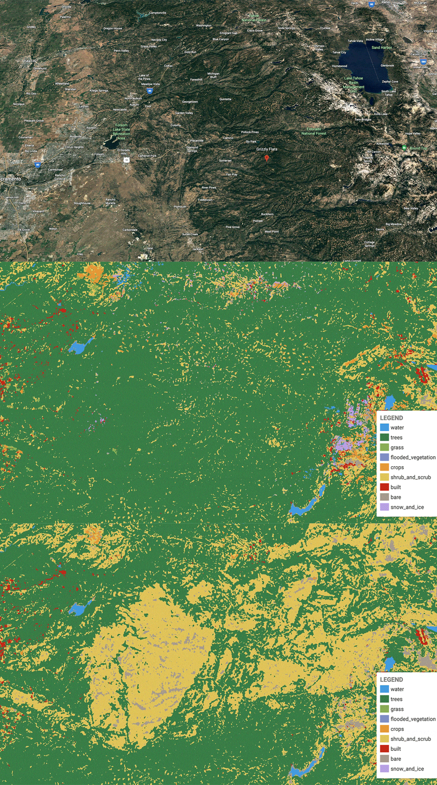
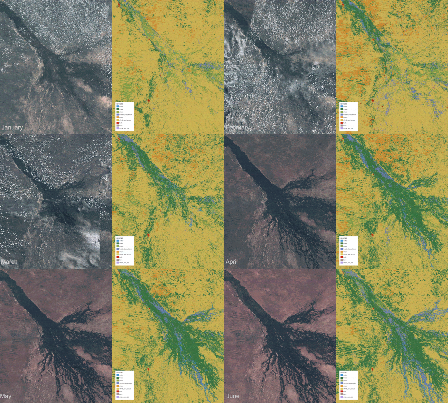
Our world is changing, and it’s changing rather quickly. Keeping track of all of Earth’s changes can be difficult. Fires are ravaging parts of the world. Droughts are drying up lakes, leading to increased exposure to rocks and landmass, and even rockslides. And, the permafrost continues to melt, giving way to massive “mouth to hell” craters that spread more each year.
No matter what kind of changes you’re trying to keep track of, staying up to date isn’t always easy. But now, a new app from Google called Dynamic World could make it easier. The app utilizes the Google Earth Engine and was developed alongside the World Resources Institution. It pulls from satellite data around the planet to make detailed maps of the Earth’s ongoing changes.
This app makes tracking Earth’s changes much easier

With Dynamic World, environmentalists, scientists, and even everyday people can keep a closer look at the changes our planet is undergoing. Earth’s changes are happening rapidly and having a tool that can deliver detailed looks at those changes quickly has become even more important than before.
A group of researchers published a paper on the app the journal Scientific Data. The app created over 5,000 Dynamic World images each day. Previously, building land cover data could take months, sometimes even years. As such, it didn’t do a good job of portraying just how quickly some of the Earth’s changes were happening.
With Dynamic World, though, new images are created often. This allows researchers and scientists to follow events in near real-time. Events that some might follow include wildfires, like the Caldor Fire that ravaged California in 2021. Others include the effects of deforestation, and even how much drought is affecting parts of the world.
Understanding change

As the push for controlling climate change continues, understanding the changes that the Earth is undergoing has become even more important than ever. Being able to find this kind of information clearly and quickly is a game-changer for researchers. And with it, they could even track Earth’s changes in things like permafrost, snow coverage after a storm, and more.
To capture these snapshots of our world, Dynamic World offers 10-meter resolution land cover data. This higher resolution allows for more accurate reporting on the information included in the snapshot. As such, it provides a good deal of accuracy for researchers to look into. This is important because verifying that data would take hundreds of thousands of man-hours on the ground.
But, with a tool like Dynamic World, researchers will be able to keep up with the Earth’s changes without having to travel all the way around the world. This could allow for more nuanced research, as well as more targeted campaigns against deforestation, droughts, and more.


