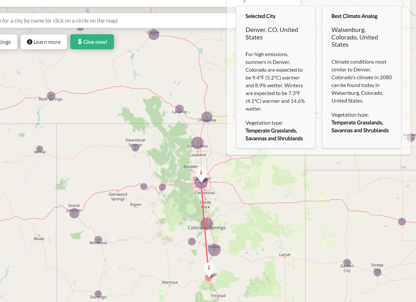
A new climate change map shows predictions for just how devastated the future climate will be in various places around the world. The map, which is called The Future Urban Climates, allows interested users to explore how their home area’s climate might change going forward.
The data used to create the map comes from the Intergovernmental Panel on Climate Change (IPCC), and it was created by University of Maryland spatial ecologist Matthew Fitzpatrick to showcase the future of climate change up to 2080.
Of course, all of the changes showcased on the climate change map are just predictions based on current trends of extreme storms, fires, floods, droughts, heat waves, and cold snaps—all of which continue to hit us harder each year.

To get an idea of what you might expect from some of these predictions—based on the new map, traveling to somewhere like northern Mississippi, where it’s warm and humid, would likely give you an idea of what kind of climate to expect in New York City by 2080.
That’s a stark difference from what you can feel in New York City today—and an even starker difference in what you would have felt 20 years ago. Of course, predictions always have some room for error. However, it isn’t likely to be a large one here, as the climate change map and its predictions are based heavily on scientific data that has been growing steadily for years at this point.
If things continue the way they are, then many of these predictions will likely come true—or at least close to true. And if that does turn out to be the case, we could be in store for some climate doom loops that leave our planet absolutely devastated.


