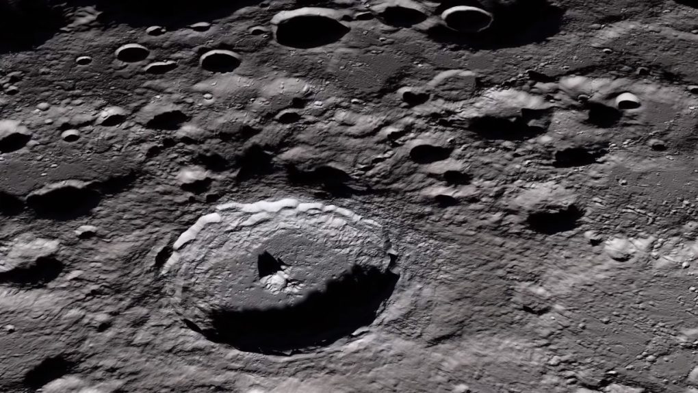
As Earth’s only natural satellite — and the only other world that mankind has ever explored in person — the Moon is one of the most well-understood bodies in our solar system. That being said, there’s still plenty about the Moon that scientists don’t fully understand, and learning more about our closest neighbor could teach us a lot about the origins of Earth as well as other planets.
To that end, NASA just gave a big thumbs up to a new project that will use infrared cameras to map the lunar surface in striking detail. The tool, called the Lunar Compact Infrared Imaging System (L-CIRiS), is part of the larger effort to learn as much about the Moon as possible ahead of the eventual return of crewed missions to the lunar surface.
The L-CIRiS camera won’t actually be launched as its own dedicated mission, but will instead be included as a ride-along tool with one of three lunar landers that will venture to the Moon over the next five years or so.
The infrared imager will do the bulk of its work during the descent of the lander it is attached too. The camera will be perched atop one of the landers and, as the lander cruises toward its eventual landing location, the imager will scan a huge area of the surface and relay that information back to Earth.
“Data from L-CIRiS will help plan future lander, rover and astronaut missions by identifying hazardous rocks and determining the density of the lunar soil,” Paul Hayne, who leads the development of the instrument, said in a statement.
Going forward, information from L-CIRiS and other lunar survey projects will help NASA plan its future crewed missions to the Moon and perhaps even offer insights that will help prepare NASA for trips to other planets as well.


