You Owe It To Yourself To Check Out Google's Amazing Street View Images Of Greenland
You probably wouldn't want to visit Greenland this time of year, which is why Google is letting you explore this gorgeous and remote landmass virtually through Google Maps Street View. Google on Wednesday announced that it's teamed up with Visit Greenland and Asiaq to help create "immersive 360-degree imagery of the world's largest island," which bears a striking resemblance to the frozen lands seen in the hit video game The Elder Scrolls V: Skyrim.
DON'T MISS: Google employee posts horrifying video that will convince you to never buy a Nest smoke alarm
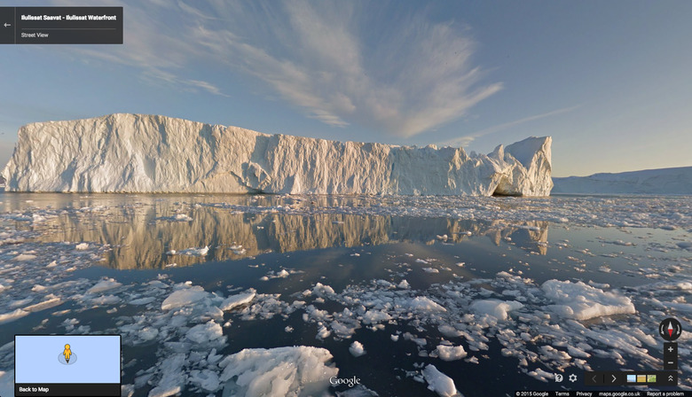
Included among the glorious sites are the massive ice walls of the Ilulissat icefjord, the centuries-old ruins of the Hvalsey Church, and the statue of Hans Egede, the explorer who founded Greenland's capital of Nuuk, which has a population of a whopping 16,500 people.
This really is a beautiful place and we can't recommend Google's beautiful Street View images enough. Check them out yourself by clicking here.