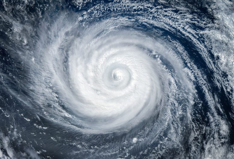
Insane Time Lapse Shows Hurricane Milton From The International Space Station
Hurricane Milton is expected to make landfall in Florida this week, and when it does, reports indicate that it could forever change the state's coastline. If you haven't kept up-to-date with the latest information surrounding this hurricane, then you'll find this new hurricane time-lapse even more impressive, as someone aboard the ISS captured footage of the hurricane making its way toward the Sunshine State.
Milton has been making quite a few news headlines recently. Not only has the hurricane's impending landfall forced NASA to delay the Europa Clipper launch, but the hurricane also accelerated from Category 1 to Category 5—the strongest hurricanes on the current scale we use—in just a matter of several hours.
This new hurricane time-lapse captured aboard the International Space Station really helps highlight just how utterly massive this hurricane has ended up. The video is just 21 seconds long, but that is more than enough time to get a good look at the storm as it rips its way toward Florida.
The hurricane is expected to hit Florida on Wednesday, where storm surges in Tampa are estimated to reach up to 15 feet—maybe more depending on how much additional force the hurricane picks up in the meantime.
You can see the hurricane time lapse video above. The post was shared on a popular subreddit that has become well known for the interesting things that have been posted there. The post itself doesn't mention who captured the footage, but NASA also shared the time lapse, noting that Astronaut Matthew Dominick had captured it from the window of the Dragon Endeavor, which is currently docked with the station.
Florida is still reeling from the aftermath of Hurricane Helene. And it doesn't look like Milton is going to go easy on the already devastated coastline, either. All we can do now is remain hopeful that people were able to evacuate, and that those who stayed behind remain safe.
UPDATE: Here's some more NASA footage of Hurricane Milton, this time shared by the Associated Press:
